Days 165 - 173 (May 16 - 24, 2026) of our five-year circumnavigation
420 nautical miles from Ua Pou to Raroia - a four day passage
7,262 cumulative nautical miles sailed (including to new anchorages in Raroia)
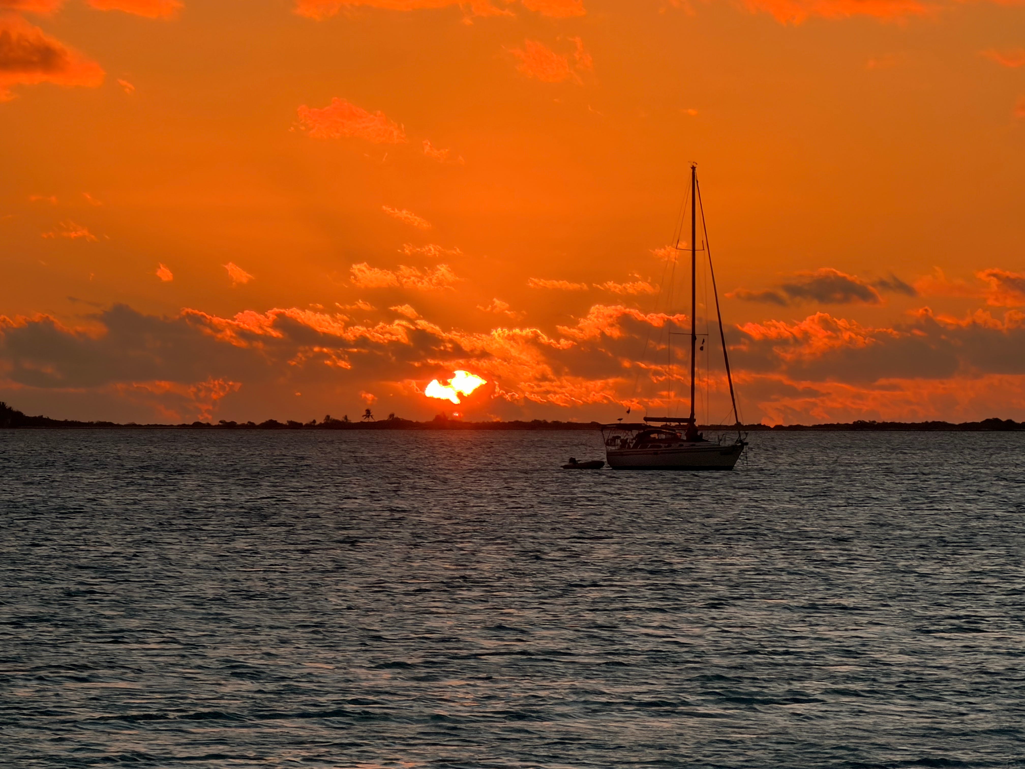
Odds are pretty good you’ve never heard of “The Tuamotus.” When we tell friends where we are, the response is usually, “Where?” The 76 atolls of the Tuamotu Archipelago live up to the over-used marketing term “undiscovered.” The very first atoll we visited, Raroia, sees only 300 visitors a year — nearly all of them on private sailing vessels since that’s the only practical way to reach the island.
An “atoll” is formed when a volcano erupts from under the sea, creating a volcanic island. A coral reef forms around the island, and then over millions of years, the volcano erodes and the coral reef grows, creating a barrier reef. What is left is like a giant pool in the middle of the ocean. The barrier reef forms the walls of the pool, which may be 20–30 miles wide, and a lagoon forms on the inside, protected from the ocean.
Each atoll typically has only one or two “passes,” which are navigable by boat and allow access to the inner lagoon. Navigating these passes is dangerous and tricky since you must pass through them at slack tide, or the time between high and low tide when the current is at its lowest. The ebb tide, when water is flowing out of the atoll into the ocean, can generate significant current as the atoll empties and all the water is flushed out through the pass. If you try to navigate through during these times of high current, you can lose control of your vessel and be smashed onto the reef.
Preparing for this portion of our journey, then, necessarily involved a lot of studying to learn the intricacies of the tides at each atoll, how to navigate through the passes, and how and where to find all the information needed to make these decisions. Luckily, we would have four days to study as we departed Ua Pou, embarking on a 420-nautical-mile passage nearly due south to Raroia, one of the most remote and beautiful atolls.
The morning started easily enough, and weighing anchor was routine. I secured the anchor in place and motored out of Hakahau Harbor, turned to starboard, and motored due west, bashing upwind against the wind and waves. I assured Meghan that we only had three nautical miles to put up with the discomfort before we could turn south and begin our long sail. She was in very good spirits and didn’t mind the bashing, especially knowing it would end soon.
By 10 a.m., we were headed south, sailing a beautiful beam reach and enjoying the gorgeous weather. The seas were a bit confused as they bounced off the island, giving us a mildly jerky ride, but not bad overall. Less than 90 minutes later, we cleared Motu Oa at the southeastern tip of Ua Pou and sailed into the open Pacific Ocean.
Meghan smiled and remarked how it felt really good to be back on passage again. The routine was familiar. Preparing meals at sea, standing night watch, keeping vigilant for other vessels and weather — it was all familiar and comfortable to us by now. And we both loved it, which made me very happy. Life at sea is not an easy one, and if your heart is not in it and there’s no salt in your veins, well, it’s just not going to end well. I truly got lucky to have found this remarkable woman, eager and willing to build a life at sea and adopt my dream as her own. Every time I get frustrated with some trivial thing, I remind myself of that fact!
The sailing was what we like to call “champagne sailing.” Great wind of 14–16 knots, blue skies, lots of sun, and enough sea breeze to keep you cool and comfortable. The wind was coming from about 150 degrees, so we were broad reaching the entire time. I quite literally didn’t lay a hand on a halyard or sheet for days! (Although I probably should have, as the gennaker would have gotten us there a half-day faster, but it would have also been more work!)
The very first night, we (almost) caught the biggest tuna I’d ever seen! Meghan made dinner, and just before she served it, she suggested I bring in the fishing lines so we wouldn’t have to deal with catching a fish while we were trying to eat. I said, “Nah, I’ll just leave them be.” She said, “You know, a fish is going to hit as soon as you bite into this burger I just made you!” Her words would turn out to be prophetic.
You can’t make this up, and we have it on video to prove I’m not. As I mentioned that I was about to try this delicious burger she prepared and took a first bite, it happened. It wasn’t two seconds from the time I took the bite! Zzzzzzzzzzzzz! The sound of a large fish pulling against the drag on a fishing reel is exhilarating. And from the sound, I knew this one was BIG. I jumped up, grabbed the pole, and adjusted the drag. I needed to let him run, but wanted to slow him down. I noticed that the reel was hot from the friction of him pulling against the drag! I’d never experienced that before.
Meghan worked the sails. It’s impossible to reel in a fish when the boat is still moving, so the sails need to be doused. She got the genoa furled successfully and then turned the boat up into the wind, de-powering the mainsail. As the boat came to a stop in the middle of the ocean, I tightened the drag adjustment on the reel once more and popped it back in its holder, announcing, “The fish can wait. I want to finish this delicious burger while it’s still hot!” So I did.
After dinner, I went to work. It was immediately apparent that this fish was a monster. It pulled like a freight train, and I had to repeatedly let it take out more line to avoid snapping it. The fight went back and forth for 45 minutes. I would make some progress, reel in 50 or 100 feet of line, and then he’d get mad and make a run for it again. Zzzzzzzzz! I eased up on the drag a couple of times. I knew I wasn’t going to win this one with brute strength — it would be a war of attrition with this guy.
After a long fight, and being impressed at his strength multiple times, I finally got him close enough to the boat to catch a glimpse. I thought it was a grey or silver tip shark. It was five feet long and silvery. Or maybe white? Within a couple of minutes, I got another glimpse and this time saw the tail fin. Nope. Not a shark, I don’t think. From the underside, it looked like a tuna, probably a yellowfin. But it was FIVE FEET LONG!! I’d never seen a tuna that big.
By now it was within 10 feet of the boat and pulled again. He wasn’t ready to give up yet. He dove deep, under the boat, and crossed over to the other side. I walked forward on the deck, passing the fishing pole around the shrouds as I did. I walked all the way around the boat and to the other side as I tried to get on the same side as him. It worked, but soon enough he ran again — this time he swam under the starboard hull as I was sitting on the steps at the stern of the port hull. I recognized the risk now as I plotted my next move. The line now ran next to the sail drive and propeller. There were lots of sharp metal edges down there, right where he had taken that line. And sure enough — snap! — the line broke. I turned my face to the sky and yelled loudly in primal frustration. He got lucky and pulled that line to the absolute best place (for him) that he could have. He was gone. With a $15 lure hanging in his mouth, poor guy. But he would live to fight another day.
Maybe it was for the best? I’m not exaggerating when I say it was five feet long. And examining the video confirms it was a tuna, not a shark. I honestly don’t think I could have gotten it on board, as my gaff is too small for the job. And the fish are still alive when I land them, so it would be flopping around as I tried to kill it quickly. It would have been an ugly, ugly scene, I might have gotten hurt, and we didn’t have enough freezer space to store all the meat anyway. He would have fed a small village! But damn, something very primal, down deep inside me, really wanted to win that fight.
The next two days were beautiful. More champagne sailing. There’s an old saying in sailing that “sailing is hours and hours of boredom, interrupted from time to time by moments of sheer terror.” We were about to prove that maxim again.
But first, Meghan spent quite some time talking to the folks on our livestream and describing what she loves so much about this journey and this life. I enjoyed hearing that, and it warmed my heart. This truly is everything I ever dreamed it would be, and I love that she loves it too. It can be a hard way to live, but the rewards are glorious. And it feels like stuffing 100 pounds of living into a 10-pound sack. It’s fantastic.
On the third night of the passage, about 60 miles from Raroia, the seas got angry. Even with all the miles under my keel, I had never felt any seas like this. They were chaotic, confused, and inconsistent. We were taking seas on the beam now, which means directly to the side of the boat and rolling it from side to side violently. But the strange part was that we would have 5 or 10 “regular” waves pass under us, and then BAM, a huge rogue wave, bigger than all the others, would slam into the boat.
Even after 28 days on the Pacific crossing, this was something new. BAM, cabinets flew open and dishes crashed. A few minutes later, BAM, and my chair quite literally slid across the floor and crashed into the cabinetry. BAM — this one knocked over one of Meghan’s potted plants that hadn’t been disturbed in seas that were far bigger! It crashed down the port companionway and smashed into a million pieces.
Making matters worse, it was 3 in the morning and there was no moon. I couldn’t see the seas that were abusing us so badly. I altered course to try to put them behind us, but to get any improvement required so much deviation from our course that I deemed it not worth it. Instead, for hours I sat and tolerated it while praying for dawn’s first light. While I did, I asked Grok about the strange seas and learned that this was quite common in the Tuamotus. Because of all the atolls and the current flowing in various directions, often at great speed, the seas were typically confused and felt much more “jerky” than normal. This fit my observations perfectly. It was nice to know what was going on, but it didn’t make it any less miserable.
Finally, there was enough light in the sky to make out the horizon. I could begin to see the waves that were punishing us. Not that it truly helped, but somehow it felt better to be able to see! By now the winds had built to 26–30 knots, the seas had grown even more fierce, and we added driving rain to the mix, just for fun! What a morning! After three gorgeous days of champagne sailing, we now had horrific storm conditions as we closed in on the pass and Raroia, now less than two hours away.
We arrived at the pass around 7 a.m., and I had estimated slack tide to be at 6:48 given all the various tools at my disposal. Since it was an ebb tide, this should give me slack water, or a mild outgoing current. Perfect. Except that we still had 30-knot winds, gray skies, huge seas, and driving rain! And the forecast said we had 48 hours more of this weather ahead.
Meghan was scared, and rightly so. It was white-knuckle, real-life decision making — and the stakes could literally be life or death. In these awful conditions, we had to decide whether to go through the pass into the atoll: something we’d never done before, where all our knowledge was academic rather than practical. And even if we successfully navigated the 500-meter-wide pass into the atoll, we then had to navigate 10 nautical miles through a field of “bommies” (coral heads that could sink your boat) in high wind and driving rain to reach the anchorage.
Our other choice was to heave-to and stay at sea for two more days in the storm. There was no “good” choice on the menu. The stress was so high that Meghan and I fought about it. She was scared and didn’t want to go in. I explained all the reasons why I thought that was the safer of the two options available to us. She didn’t really want to hear it, and I later learned it would have been better to offer reassurance instead of a litany of reasons why the decision was better. I’m learning.
But finally, she felt comfortable enough, or at least accepted my decision, to attempt the pass in storm conditions, 30-knot winds, driving rain, and poor visibility. I did my best to display more confidence than I actually felt inside.
So at 7:05 a.m., I put my binoculars on the water in the pass, searching for standing waves or boiling current — something to show me that the water wasn’t safe. Instead, I saw a wide ribbon of calm water right on the left side of the channel. I slammed the throttles and turned to port. We were going in.
The satellite chart showed me deeper water to port, so I hugged the coast. But that was terrifying because it was lined with volcanic rock and coral reef the whole way. Less than 200 meters away was a large rocky shoreline that would eat our hull for breakfast. Turning to starboard, the water was “boiling” where outgoing current met incoming, or perhaps ocean current. I wasn’t sure, but the water over there was ugly. I had maybe 200 meters of slack water, and I pushed through it quickly. More power meant more control over the rudder and the ship, so I dialed up from 2,500 rpm — our typical cruising speed on the open ocean. I never run that hard in tight spaces or harbors — until now.
We were biting our nails. The satellite imagery had to be right, or we were screwed. My estimates of the tide had to be right. And then, whatever we found on the inside once we got there… well, we’d need to figure that out too.
As we came through the pass, two red navigation markers came into view. In European waters, the red/green is reversed, so there’s one more thing to keep in your head as you tackle all these challenges. Meghan and I debated the best path, but as we rounded that marker, we were officially inside the atoll and the pass was behind us! Hooray!!!
Our next challenge was the field of bommies. We had a satellite image showing the location of these small coral “islands,” and in better weather we would have had Meghan on the bow with a pair of polarized sunglasses and our full-duplex headsets on. But it was still raining hard and visibility was terrible. So we sat side-by-side at the helm, with Meghan looking for breaking waves that indicated shallow water, and me watching the satellite chart. We had 10 miles to go, which would take about 90 minutes. There were literally hundreds of bommies to avoid in order to make it safely.
Constant back-and-forth: “Look over there, I see whitecaps. Be careful!” — “Is that lighter water there? Could be shallow!” — “Holy crap, that one breaks the surface!”
We made a VHF call: “Some Tuesday to any vessel anchored at Twin Palms.” Someone answered, and I asked him about the conditions in the anchorage and if there was plenty of room. Given the stormy weather, I would need to let out a lot of chain and would have a long swing radius. He assured me there was plenty of room.
Just before 9 a.m., we pulled into “Twin Palms Yacht Club,” an affectionate name given by cruisers to this beautiful anchorage. No, there is no yacht club! We discussed the best area and soon picked a spot. We needed to get the anchor down in sand and avoid the bommies (coral) on the bottom — both to avoid breaking the coral reef and fouling the anchor chain. I attached floats to keep the anchor chain off the seafloor, and soon enough we were anchored in 20 feet of water. We agreed that tomorrow, when the weather was better, we would move closer to the beach.
But finally, the stress was over. We were safe. The anchor was down. The conditions were very calm given the stormy weather, since this location offered great protection from the wind and waves. We breathed a sigh of relief and crashed onto the cushions to relax. We both slept for most of the day!
The next day, the weather was better and we moved closer to the beach as planned. We moved the anchor twice, convinced we could improve our spot, and soon enough we were less than 800 feet from the beach, anchored in water so clear you could see the bottom clearly in 12 feet.
We spent the next few days paddleboarding, touring in the dinghy, and hiking on shore over to the other side of the reef to stand in the Pacific. The hike across the reef was otherworldly. From the beach where we landed the paddleboards to the surf of the Pacific was about a quarter-mile walk over hard coral. You’ve seen coral in gift shops, so just imagine tons and tons of little pieces, broken into various sizes from grains of sand to grapefruit size, covering the landscape. It was terrain like none we’d ever seen before. And the rocky coral shoreline on which the waves were breaking was pink.
Twin Palms was so well protected, nestled behind the reef and palm trees, that the boat was completely still. We joked several times that we thought maybe we were on land! We have never been so still while at anchor — before or since! Maybe we should have stayed longer to enjoy it, but on the fourth day we weighed anchor and motored two hours, dodging bommies, to anchor again near the Kon-Tiki memorial.
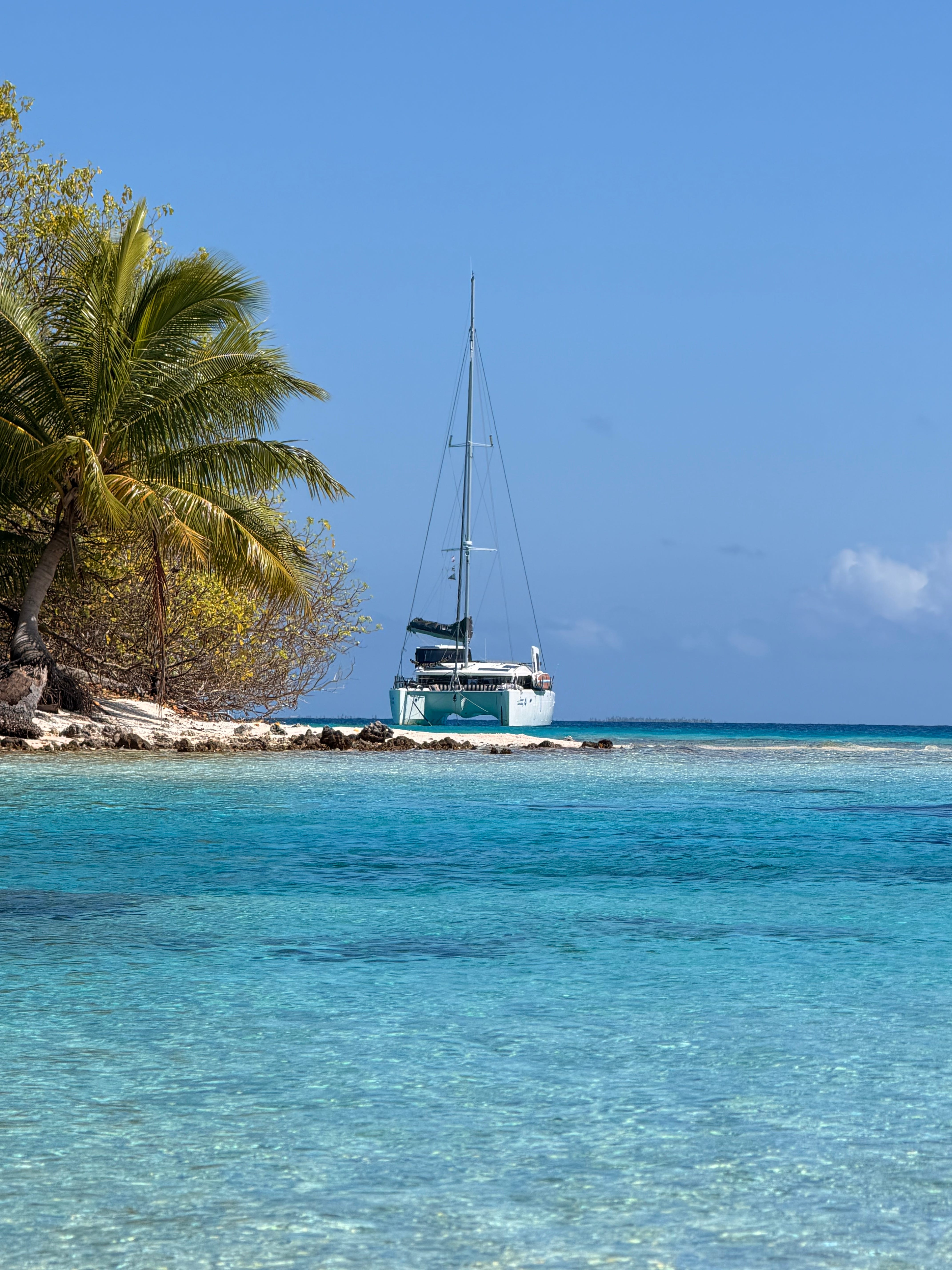
If you’re not familiar with the Kon-Tiki story, look it up! Read the book or watch the movie, as it’s an incredible true story of Thor Heyerdahl, who set out in 1947 to prove that a raft made using technology from 1,000 years ago could have crossed the ocean from Peru to the South Pacific. He was roundly disrespected by scientists of the day, so he built the raft using balsa wood logs and native materials. They successfully sailed across the Pacific over 101 days and landed at Raroia. Some years ago, his grandson had a memorial constructed where he landed.
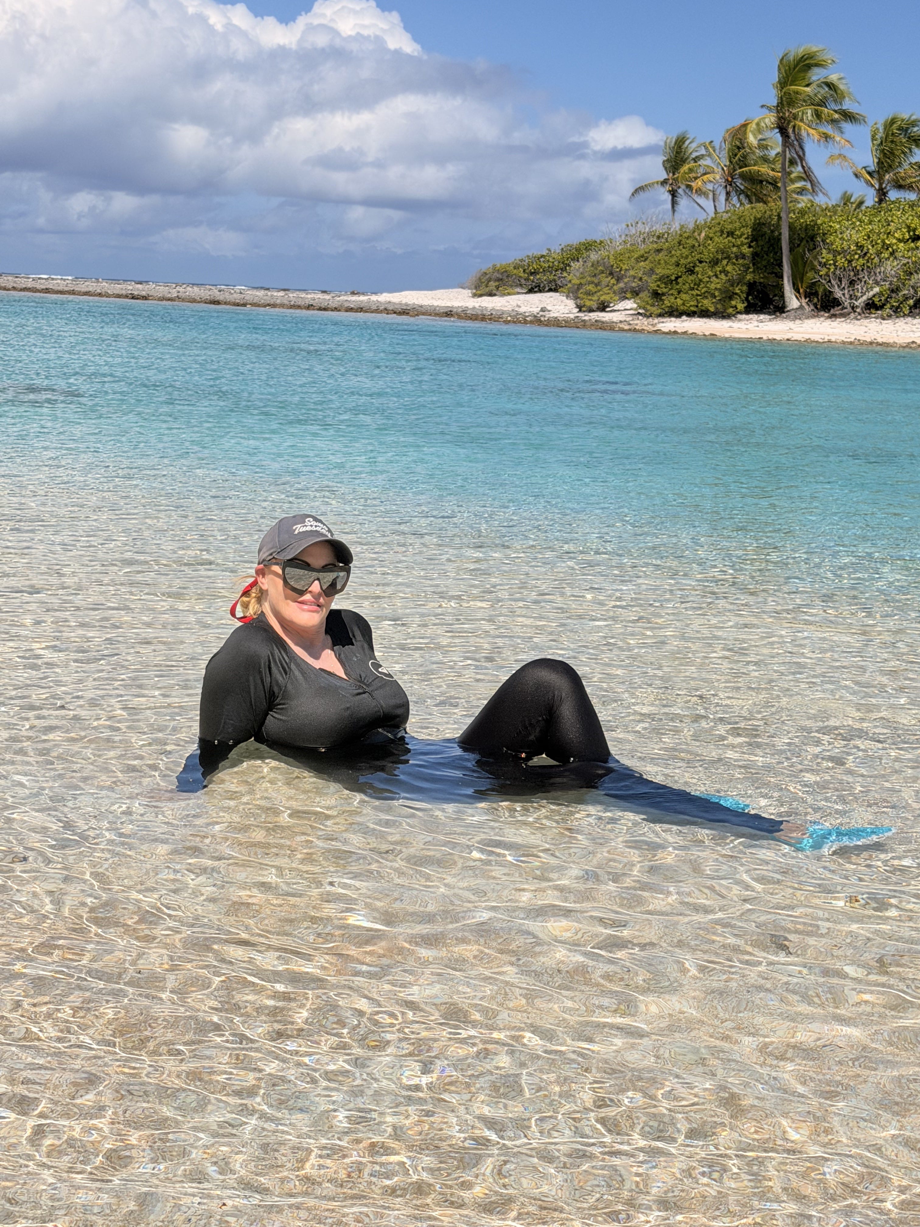
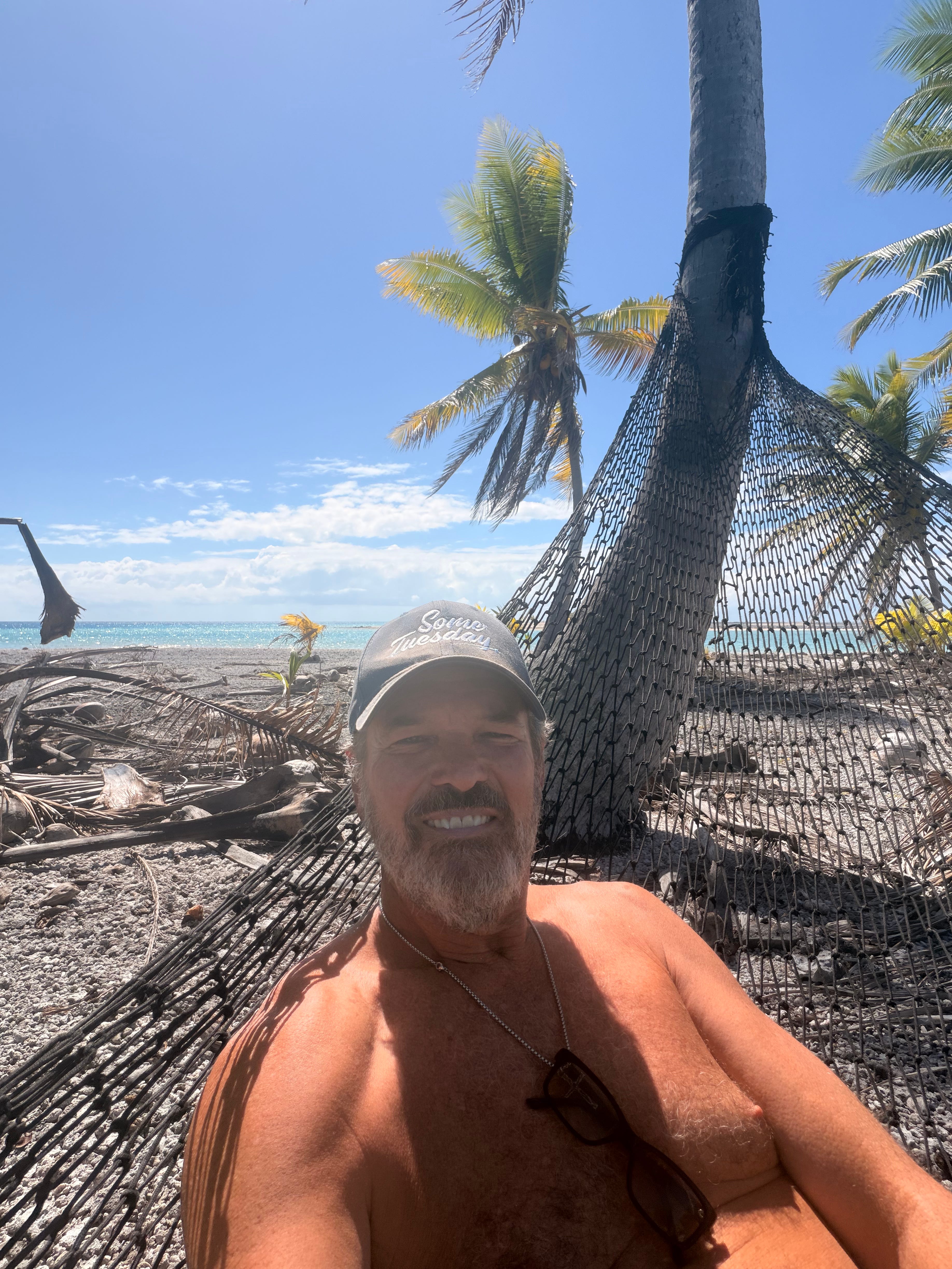
We anchored a half-mile or so south of the memorial and relaxed for the evening. The next day we went ashore and toured several of the motus, cruised up and down the beach sightseeing, and then anchored in 18 inches of deep water just off the motu where the memorial is built. We found it easily, took photos and video, and spent a couple of hours relaxing on the beautiful beach and in the shallow water. It was glorious!
Slack tide was forecast to be at 4:58 p.m. that day, and we planned to sail to Makemo overnight. The anchor was up by 3:30, and we motored across the atoll, again dodging bommies the whole way. Thank goodness for modern charting software and satellite images!! By 4:30, we arrived at the pass and began observing the water with binoculars. I saw a ribbon of flat water through the middle of the pass and thought it was slack, so I throttled up and headed out.
I was wrong. As we headed into the pass, I noticed big ripples and waves over the reef to starboard, indicating a major outgoing current was ripping over it. I mistakenly wrote this off, thinking it was just funneling over the shallow area of the reef. As we got into the pass, the current picked up drastically and started pushing the stern left and right. We had about four minutes of hair-raising stress as the boat yawed back and forth, and I used all my strength, pulling the wheel dramatically side-to-side trying to counteract the outflowing current’s effect on the rudders. I slammed the throttle wide open, needing more way on.
The water to port was boiling. It seriously looked like it was boiling as currents from different directions crashed into each other. I kept to the flattest water I could and steered aggressively. I knew I had to get this right. Within a few minutes, we emerged out the other side and into the open ocean, but the current stuck with us for a few minutes longer. Finally, I was able to breathe a sigh of relief. Meghan did a great job keeping cool, even though it was obvious that I was working hard to keep control of the vessel. She later said, “I’ve never seen you steer like that before — huge movements from side to side, over and over.” Yeah. It was the real deal.
I never lost control of the vessel, but there was definitely some “pucker factor” as my 33,000-pound boat was pushed around like a child’s toy. I made a mistake and misread the water, entering while there was still significant ebb tide. I now know that was because the wind was up and water was crashing into the reef from the ocean, filling the lagoon more than the tide normally would. All that water flowing back to sea postponed slack tide and made the models that predicted the time inaccurate. My view now is that I learned a lot about reading the water and estimating tides — and nothing bad happened. That’s called experience.
We planned a 20-to-24-hour sail to Makemo atoll, hoping to arrive on Monday around noon, which would be perfect since slack tide is estimated at 11:56.
In closing, I’ll say that I often fear people will think I’ve exaggerated situations in these logs to make them seem more dramatic. I don’t. I describe things as fairly as I can, exactly as they happened. And this is why I said above that this life is like stuffing 100 pounds of living into a 10-pound sack. Dramatic, unusual, and seemingly crazy things happen regularly, interspersed by long, lazy days at anchor, relaxing and enjoying the sunset. I hope you enjoy reading about it, and we most definitely enjoy living it. It’s extraordinary, and someday when I die, I’ll know I lived my life to the fullest. I know Meghan feels the same way.